Search Death Records (United States)
 U.S. Newspapers, 50 State Full Search (1690-present)
 U.S. Obituary Database Search, (1696-present)
 U.S. Birth Announcements Database, (1700s-present)
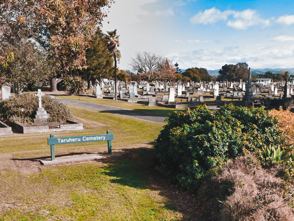
Taruheru Cemetery
Taruheru, Gisborne Region, New Zealand
 |
Taruheru Cemetery, Gisborne, NZ |
GPS: -38.643072, 177.980049
570 Nelson Road
Taruheru 4071
New Zealand
Published: June 16, 2020
Total records: 24,314
Taruheru Cemetery is owned and managed by Gisborne District Council. It is the largest cemetery operated by the Council.
Cemetery History
Taruheru Cemetery is the Council's primary burying ground. It officially opened for burials in 1915, though some burials had occurred before then. Sized at 15 hectares of land, it is the largest cemetery in the Council. It replaced the older Makaraka Cemetery located nearby.
There are 12 Commonwealth War Graves Commission burials of the 1914-1918 war and 21 of the 1939-1945 war here.
Downloadable Files
 Taruheru Cemetery Plot Map, (760 KB)
Cemetery Records
Records linked below were acquired from Gisborne District Council on June 14, 2020. Dates of burial range from 1910 to 2020...
Surname Index:
- Surnames A
- Surnames B
- Surnames C
- Surnames D
- Surnames E
- Surnames F
- Surnames G
- Surnames H
- Surnames I
- Surnames J
- Surnames K
- Surnames L
- Surnames M
- Surnames N
- Surnames O
- Surnames P
- Surnames Q
- Surnames R
- Surnames S
- Surnames T
- Surnames U
- Surnames V
- Surnames W
- Surnames X
- Surnames Y
- Surnames Z
- Unidentified Remains

